
File:Bavaria location map G.svg

Size of this PNG preview of this SVG file: 608 × 600 pixels. Waxyaabaha kale xalinta: 243 × 240 pixels | 487 × 480 pixels | 779 × 768 pixels | 1,038 × 1,024 pixels | 2,077 × 2,048 pixels | 867 × 855 pixels.
Faylka asalka ah (SVG file, nominally 867 × 855 pixels, file size: 1.2 MB)
Qoraal kooban
| Sharaxaad |
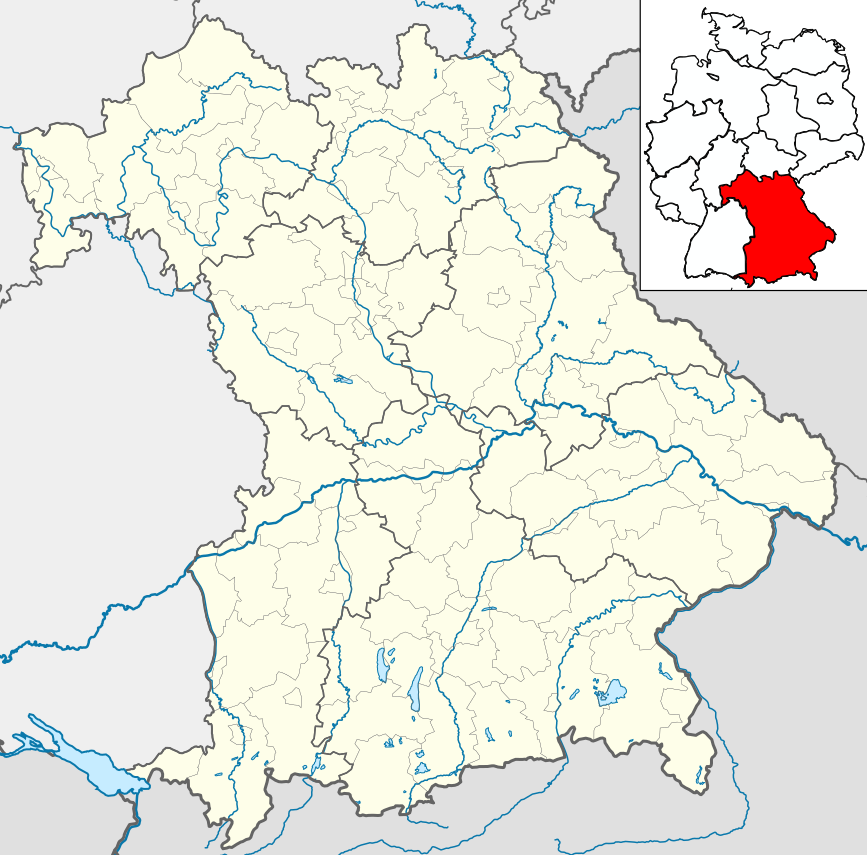
Deutsch: Positionskarte Bayern einschl. der Lage innerhalb Deutschlands. Geographische Begrenzung der Karte:
English: Location map Bavaria, showing position of Bavaria within Germany. Geographic limits of the map:
|
| Taariikhda | |
| Xigasho | own work, based upon File:Bavaria location map.svg |
| Qoraa | Hanhil based upon previous work by TUBS |
Laysinka
I, the copyright holder of this work, hereby publish it under the following licenses:

|
Permission is granted to copy, distribute and/or modify this document under the terms of the GNU Free Documentation License, Version 1.2 or any later version published by the Free Software Foundation; with no Invariant Sections, no Front-Cover Texts, and no Back-Cover Texts. A copy of the license is included in the section entitled GNU Free Documentation License. |
This file is licensed under the Creative Commons Attribution-Share Alike 3.0 Unported, 2.5 Generic, 2.0 Generic and 1.0 Generic license.
- Waad fasaxantahay:
- la wadaagid – koobi gareenta, qaybinta iyo gudbinta shaqada
- to remix – in shaqada la waafajiyo
- Shuruudaha soo socda:
- Astaan – You must give appropriate credit, provide a link to the license, and indicate if changes were made. You may do so in any reasonable manner, but not in any way that suggests the licensor endorses you or your use.
- si isku mid la wadaag – If you remix, transform, or build upon the material, you must distribute your contributions under the same or compatible license as the original.
You may select the license of your choice.
Taariikhda faylka
Riix taariikhda/waqtiga si aad u argto faylka sida oo ahaa markiisa hore.
| Taariikhda/Waqtiga | Sawir yar | Cabirka | Isticmaale | Ka hadalka | |
|---|---|---|---|---|---|
| kan hadda | 23:19, 30 Mey 2009 | | 867 × 855 (1.2 MB) | Michiel1972 | frame |
| 06:13, 21 Mey 2009 |  | 867 × 855 (1.19 MB) | Hanhil | Position der Übersichtskarte | |
| 05:59, 21 Mey 2009 |  | 867 × 855 (1.19 MB) | Hanhil | == Summary == {{Information |Description= {{de|Positionskarte Bayern einschl. der Lage innerhalb Deutschlands. Geographische Begrenzung der Karte:}} {{en|Location map Bavaria, showing position of Bavari |
Faylka lagu isticmaalay
waxyaabaha soo socda ee bog ayaa adeegsanaya faylkaan:
isticmaalka faylka aduunka
Wikisyada kale ee soosocda ayaa adeegsanaya faylka:
- Ku isticmaal azb.wikipedia.org
- Ku isticmaal de.wikivoyage.org
- Ku isticmaal en.wikipedia.org
- Ku isticmaal es.wikipedia.org
- Landsberg am Lech
- Múnich
- Ratisbona
- Dilinga
- Núremberg
- Augsburgo
- Wurzburgo
- Ingolstadt
- Aschaffenburg
- Fürth
- Erlangen
- Ansbach
- Bamberg
- Coburgo
- Traunstein
- Garmisch-Partenkirchen
- Pinacoteca Antigua de Múnich
- Dachau
- Gunzburgo
- Bad Wörishofen
- Cham (Alemania)
- Straubing
- Neue Pinakothek
- Catedral de Bamberg
- Unterdießen
- Residencia de Wurzburgo
- Iglesia de San Miguel (Múnich)
- Theatinerkirche (Múnich)
- Gliptoteca de Múnich
- Palacio de Weißenstein
- Ruhpolding
- Ramsau bei Berchtesgaden
- Iglesia de Wies
- Rothenburg ob der Tauber
- Bad Tölz
- Kronach
- Eichstätt (ciudad)
- Abenberg
- Abadía de Tegernsee
- Oberstdorf
- Eckmühl
- Aeropuerto de Hof-Plauen
- Burghausen
- Plantilla:Mapa de localización de Baviera
- Bad Reichenhall
View more global usage of this file.