File:Socotra overview.PNG

Page contents not supported in other languages.
Ka Wikipedia

Socotra_overview.PNG(550 × 484 pixels, weyninka faylka : 61 KB, nuuca MIME: image/png)
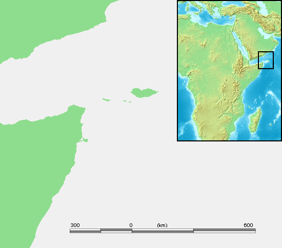
Faylkaan wuxuu ka socdaa Wikimedia Commons waxaana adeegsan kara mashaariic kale. Sharaxaadda ku taal boggeeda faylka ee bogga sharaxaadda faylka halkan hoose ayaa lagu muujiyey.

Sharaxaad Socotra
Xigasho own work based on PD map
Qoraa edited by M.Minderhoud
Ogolaasho
(Dib u isticmaalka faylkaan)
Public domain
This image is in the public domain because it came from the site https://www.demis.nl/products/web-map-server/examples/ and was released by the copyright holder. Permission is granted to copy, distribute and/or modify this map since it is based on free of copyright images from: www.demis.nl. See also approval email on de.wp and its clarification.

Deutsch | English | македонски | മലയാളം | Nederlands | slovenščina | +/−

Public domain This work has been released into the public domain by its copyright holder, www.demis.nl. This applies worldwide.
In some countries this may not be legally possible; if so:
www.demis.nl grants anyone the right to use this work for any purpose, without any conditions, unless such conditions are required by law.

Captions

Add a one-line explanation of what this file represents

Items portrayed in this file

depicts Ingiriisi

Taariikhda faylka

Riix taariikhda/waqtiga si aad u argto faylka sida oo ahaa markiisa hore.

Taariikhda/WaqtigaSawir yarCabirkaIsticmaaleKa hadalka
kan hadda17:15, 3 Sebteembar 2006Sawirka yar nuuciisa ahaa 17:15, 3 Sebteembar 2006550 × 484 (61 KB)Michiel1972{{Information |Description= Socotra |Source= own work based on PD map |Date= |Author= edited by M.Minderhoud |Permission= {{PD-Demis}} |other_versions= }} category:Locator maps of islands

Ma jiraan bogag adeegsanaya faylkaan.

Metadata