
File:Ethiopia relief location map.jpg

Cabirka muuqaalkaan: 740 × 600 pixels. Waxyaabaha kale xalinta: 296 × 240 pixels | 592 × 480 pixels | 947 × 768 pixels | 1,263 × 1,024 pixels | 1,966 × 1,594 pixels.
Faylka asalka ah (1,966 × 1,594 pixels, weyninka faylka : 709 KB, nuuca MIME: image/jpeg)
| Sharaxaad |
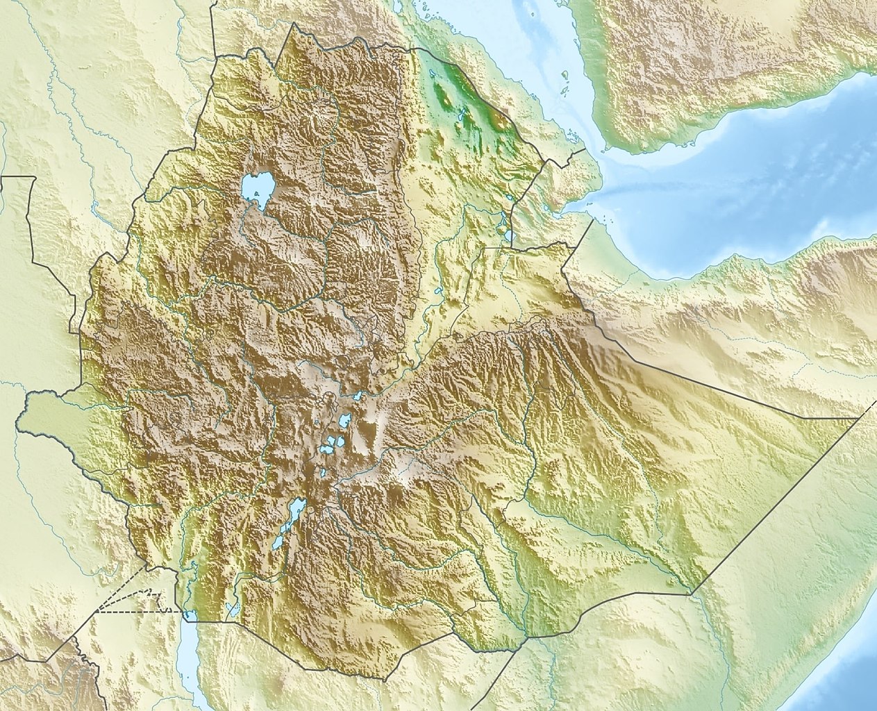
Deutsch: Physische Positionskarte von Äthiopien
Quadratische Plattkarte, N-S-Streckung 102 %. Geographische Begrenzung der Karte:
English: Physical location map of Ethiopia
Equirectangular projection, N/S stretching 102 %. Geographic limits of the map:
|
| Taariikhda | |
| Xigasho | Shaqadayda, using map data from administrative map by NordNordWest. The relief was created from SRTM-30 relief data |
| Qoraa | Carport |
| Ogolaasho (Dib u isticmaalka faylkaan) |
This file is licensed under the Creative Commons Attribution-Share Alike 3.0 Unported license.
|
| Other versions |
|

Taariikhda faylka
Riix taariikhda/waqtiga si aad u argto faylka sida oo ahaa markiisa hore.
| Taariikhda/Waqtiga | Sawir yar | Cabirka | Isticmaale | Ka hadalka | |
|---|---|---|---|---|---|
| kan hadda | 15:38, 13 Oktoobar 2021 | | 1,966 × 1,594 (709 KB) | Gebagebo | Added dotted line to indicate Somaliland |
| 13:57, 29 Sebteembar 2011 |  | 1,638 × 1,328 (1.12 MB) | NordNordWest | + South Sudan | |
| 17:32, 15 Maaj 2010 |  | 1,638 × 1,328 (1.22 MB) | Carport | {{Information |Description={{de|Physische Positionskarte von {{w|Äthiopien|3=de}}}} Quadratische Plattkarte, N-S-Streckung 102 %. Geographische Begrenzung der Karte: * N: 15.3° N * S: 2.9° N * W: 32.7° O * O: 48.3° O {{en|Physical location map of {{w |
Faylka lagu isticmaalay
waxyaabaha soo socda ee 2 boggag ayaa isticmaalaya faylkaan:
isticmaalka faylka aduunka
Wikisyada kale ee soosocda ayaa adeegsanaya faylka:
- Ku isticmaal ar.wikipedia.org
- Ku isticmaal arz.wikipedia.org
- Ku isticmaal ast.wikipedia.org
- Ku isticmaal ban.wikipedia.org
- Ku isticmaal bn.wikipedia.org
- Ku isticmaal br.wikipedia.org
- Ku isticmaal bs.wikipedia.org
- Ku isticmaal ca.wikipedia.org
- Ku isticmaal ceb.wikipedia.org
- Ku isticmaal ce.wikipedia.org
- Ku isticmaal ckb.wikipedia.org
- Ku isticmaal cs.wikipedia.org
- Ras Dašen
- Adwa (sopka)
- Národní park Simienské hory
- Erta Ale
- Šablona:LocMap Etiopie
- Afdera
- Wikipedie:WikiProjekt Česko-slovenská Wikipedie/Přeložené články/2014-02/Galerie
- Mount Ayalu
- Alajta
- Asavjo
- Alu (sopka)
- Dalaffilla
- Amajtoli Tärara
- Asdaga
- Bilate Šet
- Bishoftu (sopečné pole)
- Boina (fumarolové pole)
- Bora-Bericcio
- Borale Ale
- Borawli
- Boset-Beriča
- Butadžiri-Silti
- Beru
- Corbetti
- Dabbahu
- Dabbajra
- Dallol (sopka)
View more global usage of this file.