
File:Uganda location map.svg

Faylka asalka ah (SVG file, nominally 1,441 × 1,466 pixels, file size: 431 KB)
Qoraal kooban
| Sharaxaad |
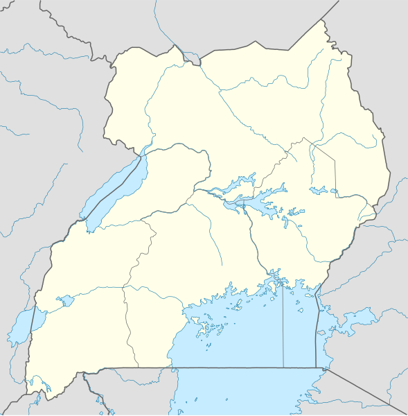
Deutsch: Positionskarte von Uganda
Quadratische Plattkarte. Geographische Begrenzung der Karte:
English: Location map of Uganda
Equirectangular projection. Geographic limits of the map:
|
|
| Taariikhda | ||
| Xigasho |
Shaqadayda, using
|
|
| Qoraa | NordNordWest | |
| Ogolaasho (Dib u isticmaalka faylkaan) |
This file is licensed under the Creative Commons Attribution-Share Alike 3.0 Germany license.
 This file is licensed under the Creative Commons Attribution-Share Alike 3.0 Germany license.
|
|
| Other versions |
Derivative works of this file: Uganda location map Topographic.png |


|
This map has been made or improved in the German Kartenwerkstatt (Map Lab). You can propose maps to improve as well.
|
Taariikhda faylka
Riix taariikhda/waqtiga si aad u argto faylka sida oo ahaa markiisa hore.
| Taariikhda/Waqtiga | Sawir yar | Cabirka | Isticmaale | Ka hadalka | |
|---|---|---|---|---|---|
| kan hadda | 19:25, 1 Diseembar 2009 | | 1,441 × 1,466 (431 KB) | NordNordWest | =={{int:filedesc}}== {{Information |Description= {{de|Positionskarte von Uganda}} Quadratische Plattkarte. Geographische Begrenzung der Karte: * N: 4.5° N * S: 1.7° S * W: 29.2° O * O: 35.3° O {{en|Location map of Uganda} |
Faylka lagu isticmaalay
waxyaabaha soo socda ee bog ayaa adeegsanaya faylkaan:
isticmaalka faylka aduunka
Wikisyada kale ee soosocda ayaa adeegsanaya faylka:
- Ku isticmaal af.wikipedia.org
- Ku isticmaal am.wikipedia.org
- Ku isticmaal an.wikipedia.org
- Ku isticmaal ar.wikipedia.org
- Ku isticmaal ast.wikipedia.org
- Ku isticmaal av.wikipedia.org
- Ku isticmaal azb.wikipedia.org
- Ku isticmaal az.wikipedia.org
- Ku isticmaal be-tarask.wikipedia.org
- Ku isticmaal be.wikipedia.org
View more global usage of this file.